Deep Learning and Deforestation: How Satellites and AI Are Watching the World's Forests
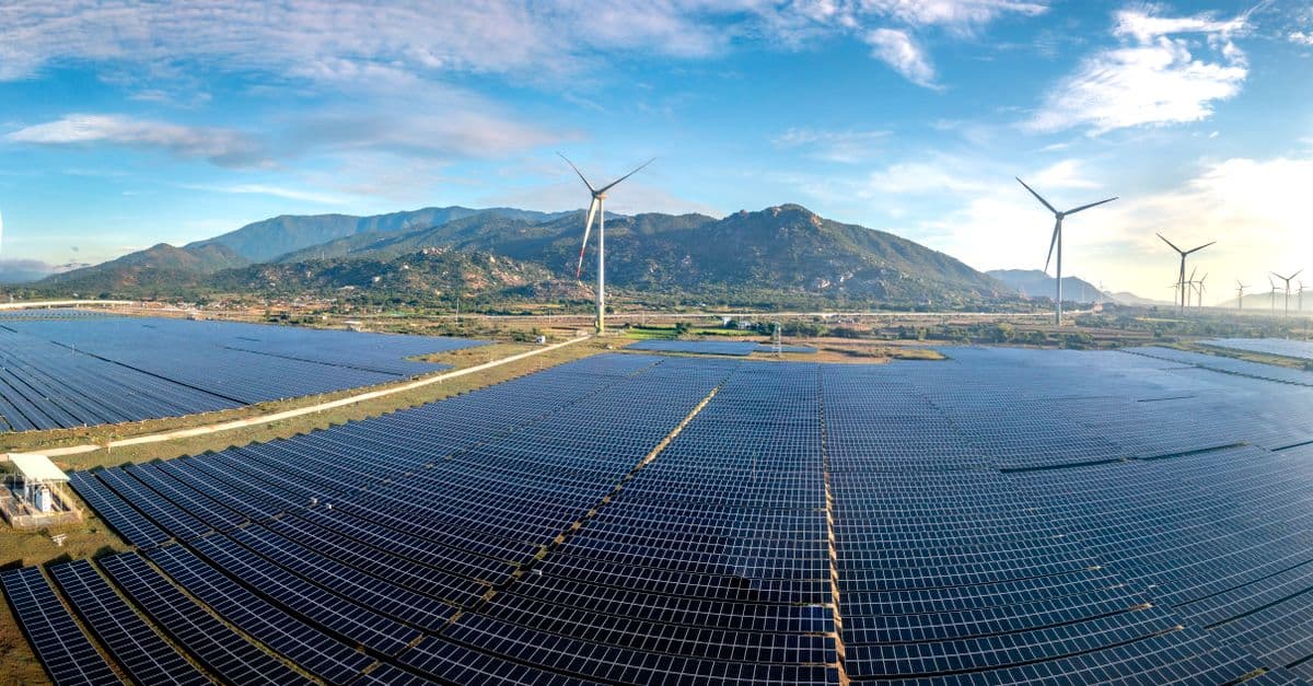
Photo: Quang Nguyen Vinh / Pexels
Tropical forests are disappearing at a rate of roughly 10 million hectares per year — an area about the size of Iceland lost every 12 months. These forests hold more than half of the world's terrestrial biodiversity, store an estimated 250 billion tons of carbon, and regulate regional water cycles that billions of people depend on. The challenge of protecting them isn't just political or economic — it's also informational. You can't protect what you can't see, and until recently, large-scale forest clearing could proceed for weeks before detection. Deep learning is fundamentally changing the speed and granularity of forest monitoring.
Key takeaways
- Deep learning models applied to satellite imagery can detect forest loss at 10–30 meter resolution within days, compared to the weeks or months it previously took to process imagery manually.
- Systems like Global Forest Watch now provide near-real-time alerts for many tropical forest regions, enabling rapid response by governments and NGOs.
- Supply chain AI tools use deforestation monitoring to flag forest-risk commodities in corporate procurement — a key pressure point for demand-side forest protection.
- Cloud cover over tropical forests limits satellite monitoring significantly; combining multiple satellite types and using radar imagery mitigates but doesn't eliminate this problem.
The Traditional Forest Monitoring Problem
For decades, forest monitoring relied on medium-resolution satellite imagery analyzed by teams of remote sensing scientists. Brazil's PRODES system, operated by INPE (Brazil's National Institute for Space Research), was for years the gold standard for Amazon deforestation monitoring — but it reported annual totals, not monthly, and with significant processing time. This annual lag meant deforesters who cleared land quickly could complete their work and establish legal occupation before detection.
Ground-based monitoring is simply impossible at continental scale. The Amazon basin covers 5.5 million square kilometers. Even with substantial resources, field teams can monitor a fraction of a percent of forest territory. Indigenous communities and environmental groups play a crucial monitoring role in accessible areas, but the vast majority of the forest goes unobserved except from space.
What was needed was a way to process the enormous volumes of satellite imagery being generated — multiple satellites passing over the tropics every few days — faster than any team of human analysts could manage. Deep learning provided it.
How Deep Learning Detects Forest Loss
The technical approach uses convolutional neural networks trained to distinguish forest from non-forest in satellite imagery, and — more importantly — to detect change between images of the same location at different times.
Change detection is harder than static classification. Clouds, seasonal phenology (leaf color changes through the year), and atmospheric haze can all create apparent differences between two images of the same forest. A model that's not trained carefully will flag every cloud shadow as a potential clearing.
The best current systems use multitemporal inputs — feeding the model a time series of images rather than a single pair — and combine optical imagery with synthetic aperture radar (SAR). SAR uses radar waves rather than visible light, penetrating cloud cover that would block optical sensors. The combination of both significantly improves detection reliability in cloud-prone tropical regions.
Planet Labs' constellation of small satellites now provides 3–5 meter resolution daily imagery of the entire tropics. Planet's Planet Pulse for Forests product uses deep learning to generate deforestation alerts from this imagery, achieving detection latency of 4–8 days — compared to weeks or months for earlier systems.
Global Forest Watch and Near-Real-Time Monitoring
Global Forest Watch (GFW), run by the World Resources Institute in partnership with Google and the University of Maryland, has become the primary public platform for forest monitoring. Their GLAD (Global Land Analysis and Discovery) alerts, developed at the University of Maryland using Landsat and Sentinel-2 imagery, provide weekly forest loss alerts at 30-meter resolution across all tropical forests.
The CNN-based detection system processes millions of 30-meter pixels across the tropics weekly. A pixel is flagged as a potential clearing when spectral characteristics change beyond a trained threshold. Alerts are posted publicly on the GFW platform, where NGOs, government agencies, journalists, and supply chain compliance teams can subscribe to alerts for specific regions.
In Indonesia, the Ministry of Environment and Forestry uses GFW alerts as a primary tool for investigating illegal clearing in protected concessions. In Brazil, Ibama (the environmental enforcement agency) uses near-real-time alerts from INPE's DETER system (which also uses deep learning) to direct enforcement operations. When Brazilian federal enforcement was reduced under the Bolsonaro administration, NGOs used GFW data to document the resulting increase in clearing rates — creating international accountability pressure.
Rainforest Alliance and several certification bodies now incorporate GFW alert data into their supply chain auditing processes, flagging suppliers operating in regions with recent deforestation alerts for enhanced scrutiny.
Supply Chain Applications
Deforestation monitoring's highest-leverage commercial application is supply chain accountability. Beef, soy, palm oil, and paper pulp are the four commodity categories responsible for the majority of tropical forest loss globally. Companies that have pledged to achieve deforestation-free supply chains need a way to verify compliance — not just from their immediate suppliers, but from farms and plantations several tiers deep.
Trase (developed by Stockholm Environment Institute and Global Canopy) maps the trade flows of forest-risk commodities from producing municipalities to exporting companies to importing countries. Combining trade data with GFW deforestation alerts, Trase can flag which traders and importers have supply chain exposure to municipalities with recent deforestation — producing company-specific deforestation risk profiles that enable targeted engagement.
Satelligence (now part of Agromonitoring) uses deep learning on satellite imagery to monitor oil palm and soy farms in Southeast Asia and South America for compliance with no-deforestation pledges. Their system covers millions of hectares of supplier farms for companies including Unilever, Nestlé, and Cargill, providing quarterly compliance reports.
The European Union Deforestation Regulation (EUDR), which entered into force in 2023, requires companies placing beef, soy, palm oil, coffee, cocoa, wood, rubber, and derived products on the EU market to demonstrate those products are not associated with deforestation after December 2020. This regulatory pressure has dramatically increased demand for satellite-based deforestation monitoring services.
Beyond Tropical Forests: Temperate and Boreal Monitoring
While most attention focuses on the Amazon, Congo Basin, and Southeast Asia, deep learning monitoring is expanding to other forest types.
Canada's boreal forest — the world's largest terrestrial carbon sink after the tropical forests — faces pressure from logging, mining, and oil and gas development. Global Forest Watch Canada and Canadian Forest Service both use ML-based monitoring from Landsat and Sentinel-2 imagery to track industrial disturbance.
In Europe, ML forest monitoring is increasingly focused on forest health — detecting bark beetle outbreaks, drought stress, and wind damage that affect forest carbon stocks. Forests stressed by drought become more susceptible to insects and fire, compounding carbon loss. German research institute WSL has developed deep learning models that identify spruce bark beetle damage from Sentinel-2 imagery up to six weeks before visual symptoms become obvious on the ground, enabling timber salvage and pest control operations.
Limitations of Satellite Forest Monitoring
Cloud cover remains the most persistent limitation. Tropical regions like the Congo Basin and Indonesia have some of the densest cloud cover on Earth. Even with SAR supplementation, cloud cover can create detection gaps of weeks in a single region. Some illegal deforesters are aware of satellite schedules and cloud patterns.
Attribution vs. detection. Satellites detect where forest loss is occurring, but determining who is responsible — which company, which farm, which individual — requires combining satellite data with land registry records, concession maps, and supply chain documentation. This integration is improving but remains incomplete, particularly in regions with poorly maintained land records.
Selective logging is harder to detect than clear-cutting. Single-tree removal or low-density extraction doesn't produce the obvious spectral signature of a clearing. Deep learning tools for detecting selective logging impacts are in development but less mature than clear-cut detection.
Resolution vs. coverage tradeoffs. 3–5 meter Planet imagery enables small clearing detection but is computationally intensive to process at global scale and more expensive than Landsat. 30-meter Landsat misses small clearings. The right tool depends on the specific monitoring question.
FAQ
How close to real-time is satellite deforestation detection? State-of-the-art systems like Planet's provide alerts within 4–8 days of clearing in clear-sky conditions. In cloudy regions, detection latency increases — sometimes to 2–4 weeks for the most cloud-prone areas. Traditional systems like Brazil's PRODES produced annual data with 6–12 month processing delays. The improvement in detection speed over the past decade has been dramatic.
Can these systems detect illegal logging in dense forests where clearings are small? Modern systems at 3–5 meter resolution can detect clearings as small as 0.1–0.5 hectares. Highly selective individual-tree logging is much harder to detect from space. Research using very high resolution commercial satellite imagery (0.5 meter) combined with point detection models is extending capability toward larger individual tree detection.
How do companies use deforestation monitoring data in practice? Companies with no-deforestation commitments typically use these tools in three ways: (1) screening new suppliers against historical deforestation in their sourcing regions, (2) monitoring existing suppliers for ongoing compliance, and (3) reporting to stakeholders and regulators on supply chain deforestation exposure. Certification auditors use the data to prioritize field verification visits.
Is this technology accessible to small conservation organizations? GFW data and alerts are freely available online and via API. Organizations without technical capacity can use the GFW web interface to monitor regions of interest without any data science expertise. More advanced integration — custom models, API-driven workflows — requires technical resources but is increasingly accessible through platforms like Google Earth Engine, which provides free access to its computation platform for nonprofits.
What's the role of AI versus traditional remote sensing expertise? AI has automated the classification task — identifying what's in an image — that previously required expert manual analysis. Traditional remote sensing expertise remains essential for defining training data, validating model outputs, handling edge cases, and interpreting results in context. The skill set has evolved toward data science and ML, but domain expertise in forest ecology and remote sensing physics remains critical.
Read next:
Follow new articles
Add SciHub101 to your feed reader to see new science and technology stories.
About the Author
SciHub101 is an independent science and technology publication founded and edited by Buğra Sözeri, a software engineer and app developer based in Türkiye. AI tools assist with drafting and research. Source documentation in the existing archive is uneven, and articles are being reviewed and corrected. The Editorial Team byline identifies editorial responsibility; it does not certify specialist or independent human review. Where we compare products, anything built by our own team is labelled as such — see the editorial guidelines and About page for how corrections and disclosures work.
Related Articles
AI & Biodiversity: Satellite Monitoring Protects Endangered Species
How neural networks detect endangered animals, track population decline, predict extinction.
Deforestation Explained — Causes, Effects, and Real Solutions
The world clears about 10.9 million hectares of forest a year, slightly more than the area of Iceland. Here is what drives it, what it costs the climate, and which fixes have measurable results.
AI & Environmental Impact Assessments: Automating Sustainability Reviews
How machine learning speeds up environmental impact assessments for infrastructure projects, from satellite-based biodiversity scans to supply-chain carbon models.
AI & Carbon Markets: Monetizing Climate Action Through Smart Trading
How machine learning prices carbon credits, flags fraudulent offsets, and reshapes climate finance — and where its limits are.
AI & Ocean Cleanup: Autonomous Robots Battle Plastic Pollution
How machine learning powers ocean cleanup robots to detect, route toward, and remove plastic from rivers and open water, and where the technology still falls short.
Real-Time Emissions Tracking: AI Makes Carbon Visible
How AI, satellites, and grid-data APIs turn a once-a-year carbon estimate into a live number companies and regulators can act on today.