The Driest and Wettest Places on Earth: Extreme Precipitation Records
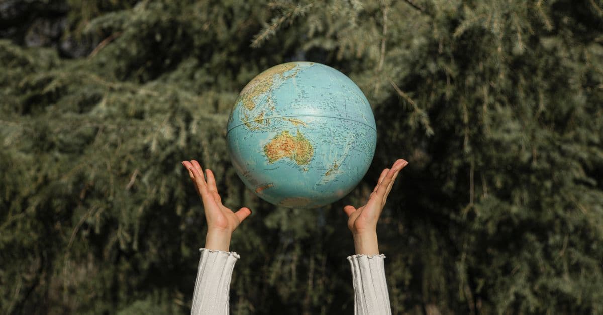
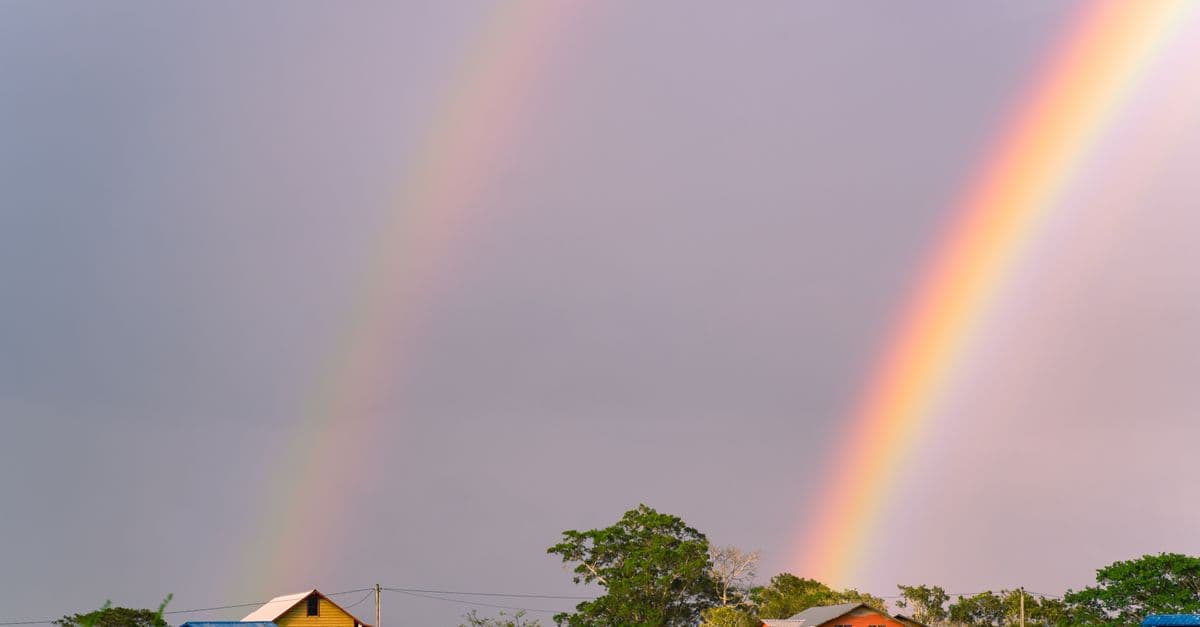
Photo: Cup of Couple / Pexels
In Quillagua, a town in northern Chile's Atacama Desert, the long-term average annual rainfall is 0.15 mm — the equivalent of a light dew that barely wets the ground before evaporating. Meanwhile, in Mawsynram, a village in the Meghalaya hills of northeast India, 11,872 mm of rain falls every year on average, enough to fill an Olympic swimming pool per hectare of ground every few weeks. Both numbers are real, measured by official meteorological stations, and both represent the same physical system — Earth's atmosphere — operating under different but equally comprehensible conditions.
What Drives Precipitation in the First Place
Before examining the extremes, the mechanism matters. Rain forms when moist air rises, cools, and the water vapor it carries condenses around microscopic particles — dust, sea salt, pollen — into droplets large enough to fall. Three main mechanisms force air upward: convection (warm surface air rises), frontal lifting (cold and warm air masses collide), and orographic lift — the process by which air is forced upward when it encounters a mountain range.
Orographic lift — the forced ascent of an air mass as it flows over elevated terrain, causing cooling and precipitation on the windward side, and warm, dry descending air on the leeward side. The dry leeward side is called a rain shadow.
The flip side of orographic lift is the rain shadow, and this single process explains a huge proportion of Earth's aridity. When moist Pacific air hits the Andes, it dumps its moisture on the western slopes. The air that descends on the eastern side of a lesser range — or on the arid Chilean plateau — is dry and warming. Combine that with a persistent high-pressure belt centered near 30° latitude that suppresses convection, and you have the Atacama.
Source: NOAA National Centers for Environmental Information (2024) — global precipitation climatology, high-resolution gridded datasets covering 1950–present.
The Atacama Desert: Where It Has Not Rained in Living Memory
The Atacama is not a single uniform place. It is a mosaic of hyperarid cores, where even the hardiest lichens cannot survive, and margins where sparse cacti and sparse human settlements cling to existence. The desert stretches roughly 1,600 km (994 mi) along South America's Pacific coast from southern Peru into northern Chile.
The hyperarid core — the section between roughly 15°S and 25°S — is where precipitation records collapse to near-zero. The station at Quillagua recorded a long-term mean of 0.15 mm per year. A station at Arica, Chile, once went 14 consecutive years without recording measurable rain. Geological evidence suggests that parts of the Atacama's core may have experienced no significant rainfall for periods exceeding 400 years between roughly 1570 and 1971.
Hyperarid — a classification applied to regions where the aridity index (the ratio of precipitation to potential evapotranspiration) falls below 0.05. In hyperarid zones, potential evaporation exceeds rainfall by a factor of 20 or more.
Three overlapping mechanisms create the Atacama's extreme dryness. First, the Humboldt Current — a cold upwelling of deep Pacific water running north along the Chilean coast — cools the overlying air and prevents it from holding enough moisture to produce significant rain. Cold air holds less moisture than warm air, and when Humboldt-cooled Pacific air drifts onshore, it barely dampens the coast rather than producing rainfall. Second, the South Pacific Subtropical High, a persistent high-pressure cell, suppresses vertical atmospheric movement throughout the year, preventing the convective storms that bring rain to other subtropical regions. Third, the Andes act as a wall blocking moisture from the Amazon basin to the east.
The result: soils in the Atacama's core contain no organic material. Biologists studying Mars habitability have used Atacama soil samples as a terrestrial analog for Martian conditions. NASA has tested instruments for Mars missions in the Atacama because its surface chemistry more closely resembles Mars than it resembles the rest of Earth.
Source: McKay, C.P. et al. (2003), "The Hyperarid Core of the Atacama Desert as an Analog for the Mars Surface," Journal of Geophysical Research: Planets, Vol. 108 — comprehensive study comparing Atacama hyperarid core soils to Martian surface conditions, including soil chemistry, UV flux, and absence of microbial life.
Antarctica's Dry Valleys: The Driest Place, Period
If the Atacama is the driest non-polar desert on Earth, the McMurdo Dry Valleys of Antarctica are the driest place on the planet outright. These valleys — Wright, Taylor, and Victoria, located on the western edge of McMurdo Sound — receive less than 100 mm of precipitation per year, and because temperatures average around -20°C (-4°F) even in summer, even that small amount falls as snow and then sublimates directly into the air without melting.
The result is a landscape with no liquid water, almost no ice coverage, and bare rocky terrain in a continent otherwise buried under 2.16 km (1.34 mi) of ice on average. The valleys exist because the Transantarctic Mountains block glaciers from flowing into them, and the Katabatic winds — cold, dense air flowing downslope at speeds up to 320 km/h (199 mph) — are so powerful and dry that they evaporate any snow that enters the valley before it can accumulate.
Katabatic wind — a drainage wind produced when cold, dense air flows down a slope under the force of gravity. In Antarctica, katabatic winds originate on the polar plateau and can reach hurricane force as they flow toward the coast.
The Dry Valleys have been ice-free for at least 8 million years, making them among the oldest exposed terrain on a glaciated continent. They contain salt-saturated lakes (Lake Don Juan, with a salinity near 44%, freezes only below -53°C/-63°F), strange geological formations, and microbial communities living inside translucent rocks — the only life that can survive there at all.
Source: Fountain, A.G. et al. (1999), "Physical Controls on the Taylor Valley Ecosystem," BioScience, Vol. 49 — long-term ecological study of the McMurdo Dry Valleys covering precipitation, wind, and cryosphere dynamics.
The Wettest Places: Orographic Lift at Maximum Power
Now reverse all those conditions. Take a warm ocean delivering moisture-laden air. Add a steep, south-facing escarpment positioned directly in the path of the monsoon. The result is Mawsynram and its neighbor Cherrapunji (officially called Sohra), 15 km apart in the Khasi Hills of Meghalaya, northeast India.
The Bay of Bengal pumps warm, humid air northward during the June–September monsoon season. This air slams into the southern face of the Khasi Hills, which rise abruptly from near sea level to around 1,500 m (4,921 ft). The orographic forcing condenses enormous quantities of moisture. Mawsynram averages 11,872 mm (467.4 in) of rain annually, according to the India Meteorological Department. Cherrapunji averages slightly less annually but holds the all-time calendar-year record: 26,461 mm (1,041.8 in) fell between August 1, 1860 and July 31, 1861.
For perspective, London receives roughly 600 mm per year. Mawsynram receives about 20 times as much.
Source: India Meteorological Department (2022) — official long-term precipitation records for Meghalaya stations including Mawsynram and Cherrapunji (Sohra).
The Global Rankings: Driest and Wettest by Annual Average
| Rank | Location | Country | Annual Avg. (mm) | Classification | Source |
|---|---|---|---|---|---|
| 1 (wettest) | Mawsynram | India | 11,872 | Hyper-humid | India Met. Dept. |
| 2 | Cherrapunji (Sohra) | India | ~11,430 | Hyper-humid | India Met. Dept. |
| 3 | Lloró | Colombia | ~12,717* | Hyper-humid | WMO (*disputed avg) |
| 4 | Tutunendo | Colombia | ~11,770 | Hyper-humid | IDEAM Colombia |
| 5 | Cropp River | New Zealand | ~11,516 | Very humid | NIWA |
| 1 (driest) | Quillagua | Chile | 0.15 | Hyperarid | WMO / DMC Chile |
| 2 | Arica | Chile | ~0.8 | Hyperarid | DMC Chile |
| 3 | Wadi Halfa | Sudan | ~2.0 | Hyperarid | Sudan Met. Auth. |
| 4 | McMurdo Dry Valleys | Antarctica | <100 (snow only) | Polar desert | USGS / NSF |
| 5 | Aswan | Egypt | ~0.9 | Hyperarid | Egypt Met. Auth. |
*Lloró's 12,717 mm figure dates from 1952–1989; current records are less comprehensive.
Source: World Meteorological Organization (2023) — global precipitation extremes assessment, including certified records for Quillagua, Mawsynram, and Cherrapunji.
Why the Monsoon Creates Such Extreme Wetness
The Indian monsoon is not a simple sea breeze. It is a planetary-scale heat engine driven by the differential heating of land and ocean. By June, the Indian subcontinent has been heating up for months. The Tibetan Plateau, at 4,500 m (14,764 ft) average elevation, acts as an elevated heat source that pumps hot air into the upper atmosphere. This creates a thermal low over the subcontinent that pulls in moist air from the Indian Ocean and Bay of Bengal with enormous force.
When this system collides with the Khasi Hills escarpment, the updrafts are so powerful and sustained that clouds form almost continuously from June through September. Rainfall of 25–30 mm in a single hour is routine. On June 17, 2022, Mawsynram recorded 1,003.2 mm in 24 hours — roughly London's entire annual rainfall in one day.
The monsoon's relationship with topography is like a river hitting a cliff. The cliff does not create the water; it concentrates it in one place.
Source: Goswami, B.N. et al. (2006), "Increasing Trend of Extreme Rain Events Over India in a Warming Climate," Science, Vol. 314 — analysis of Indian monsoon rainfall intensity trends using long-term station data.
What Happens to Life at Both Extremes
In the Atacama, life finds ways in despite everything, but only barely. Atacama lichens grow inside translucent quartz rocks, using the rock as a greenhouse and UV shield. Fog-dependent plants survive along the coast where morning fog from the Humboldt Current condenses on leaves. But in the hyperarid core, the soil contains almost no bacteria, fungi, or organic material — conditions so harsh that when rains did return after long dry spells in 2015–2017, the sudden influx of water did not spark a bloom of new life. Instead, it killed most of the microbes that had adapted to near-zero moisture, a dramatic demonstration of how specialized Atacama life has become.
In Mawsynram and Cherrapunji, the challenge is the opposite: the weight of water. Soils saturate, slopes erode, and farming during monsoon season is essentially impossible. Paradoxically, the region faces water stress during the dry season (October–May), when the same mountains that trap monsoon rain are bone-dry. The infrastructure required to store six months of extreme rainfall and distribute it through six dry months is immense. Meghalaya has invested in bamboo drip-irrigation systems and forest-rooted water retention to manage the feast-and-famine cycle.
Source: Gupta, A.K. et al. (2012), "Flood and Drought: Two Sides of the Same Coin in Northeast India," Current Science, Vol. 103 — regional analysis of water management challenges in high-rainfall areas of Meghalaya.
The Role of Climate Change in Shifting These Extremes
The global hydrological cycle is intensifying. A warmer atmosphere holds more water vapor — roughly 7% more per degree Celsius of warming, following the Clausius-Clapeyron relation. This does not mean everywhere gets wetter; it means wet places tend to get wetter, and dry places tend to get drier. The physics is unforgiving: increased atmospheric water vapor preferentially dumps as heavier precipitation in convergence zones (like the ITCZ and monsoon troughs), while expanding subtropical high-pressure belts push the dry zones poleward.
Studies using CMIP6 climate models project that the Atacama's hyperarid core will likely remain stable in the near term, but its margins may shift. The Meghalaya region is projected to experience more extreme single-day rainfall events even if total seasonal totals shift. The 2022 Mawsynram 24-hour record is consistent with this trend, though attributing any single event to climate change requires careful analysis.
ITCZ — the Intertropical Convergence Zone, the belt near the equator where trade winds from both hemispheres meet, creating persistent convection and heavy rainfall. Its position shifts seasonally and influences monsoon strength globally.
Source: IPCC Sixth Assessment Report, WG1 (2021), "Changes in Water Cycle," Chapter 8 — comprehensive review of observed and projected changes in global precipitation distribution, extremes, and monsoon systems.
Why the Atacama Is So Dry: The Triple Rain Shadow
The Atacama's extreme aridity is not a single cause. It is three independent mechanisms operating simultaneously, each enough to produce a desert on its own, all three stacked in the same narrow strip of coastal South America.
The first is the Andes rain shadow. The Andes rise to an average of 4,000 meters along the Atacama's eastern edge, with peaks exceeding 6,000 meters. Moisture-laden air moving westward from the Amazon basin is forced upward on the eastern slopes, cools, and dumps its precipitation as rain and snow before cresting the range. The air that descends on the Chilean plateau — already stripped of moisture — compresses and warms as it falls, reducing relative humidity further. A mountain range that reaches that height simply does not allow Atlantic moisture to cross it.
The second is the cold Humboldt Current. This upwelling of deep, cold Pacific water runs northward along the Chilean and Peruvian coast, chilling the air immediately above the ocean surface. Cold air holds less water vapor than warm air. When this cool marine air drifts inland, it carries so little moisture that it cannot deliver meaningful rainfall even on the coast, where it instead produces morning fog called camanchaca — dense enough that coastal plants have evolved to harvest it from leaves, but nowhere near enough to produce rain.
The third is the South Pacific Subtropical High, a persistent high-pressure cell centered near 30° south latitude. High-pressure systems suppress atmospheric uplift: air sinks rather than rises, preventing the convection that generates storms. In most subtropical regions, seasonal variation weakens the high-pressure influence at least partially. In the Atacama, the Andes block any compensating moisture from the east, and the cold Humboldt Current eliminates it from the west, so the suppression is essentially year-round.
The consequence is a landscape that NASA treats as the closest terrestrial equivalent to Mars. Atacama soils in the hyperarid core contain no detectable organic material — a property shared with Martian regolith. The European Space Agency has tested ExoMars rover instruments in the Atacama specifically because its UV flux, soil chemistry, and radical absence of biological signatures replicate Martian surface conditions more closely than any other place on Earth.
Source: Azua-Bustos, A. et al. (2018), "Unprecedented Rains Decimate Surface Microbial Communities in the Hyperarid Core of the Atacama Desert," Scientific Reports, Nature — documents the effect of unusual rainfall events on the hyper-adapted microbial communities of the Atacama's core, confirming years-long dry intervals and the sensitivity of adapted life to sudden moisture.
Why Mawsynram Is So Wet: Funneled Monsoon
The Bay of Bengal, during the June–September monsoon, is an enormous engine of evaporation. Warm, sun-heated water pumps moisture into the atmosphere continuously, and the monsoon circulation carries that moisture northward toward the Indian subcontinent. Most of it reaches India distributed across a broad front and falls as the monsoon rains that sustain agriculture across the subcontinent. What happens at Mawsynram is different — and it is entirely a product of topography.
The Khasi Hills of Meghalaya are arranged in a formation that acts like a funnel. The southern face of the range rises steeply from near sea level to roughly 1,500 meters over a horizontal distance of only a few dozen kilometers. The Garo, Khasi, and Jaintia Hills form a roughly east-west ridge that is oriented perpendicular to the southwest monsoon flow — placed, by geological coincidence, directly in the path of the Bay of Bengal air stream. As moisture-laden air converges on this escarpment, the terrain offers it nowhere to go but up. The forced ascent is rapid and sustained, cooling the air and causing condensation at extraordinary rates.
Mawsynram's position within the Khasi Hills amplifies this further. Unlike a simple ridge, the local topography creates a concave catchment — a natural collector that channels converging air masses toward a single uplift point. The result is not just heavy monsoon rain but rain that arrives earlier, lasts longer into the season, and concentrates more intensely than at neighboring stations even a few kilometers away.
The seasonality is extreme. More than 90% of Mawsynram's annual 11,872 mm falls between June and September. The remaining eight months are relatively dry, creating a paradox: the wettest inhabited place on Earth faces a water management crisis outside monsoon season, when its steep terrain and saturated soils drain quickly, leaving communities dependent on stored water from the months of excess.
Source: Singh, N. & Sontakke, N.A. (2002), "On Climatic Fluctuations and Environmental Changes of the Indo-Gangetic Plains," Climatic Change, Vol. 52 — regional analysis of monsoon rainfall distribution across northeast India, including orographic intensification at the Meghalaya escarpment and the precipitation concentration at the Khasi Hills.
Frequently Asked Questions
Q: Is the Atacama Desert really drier than the Sahara?
A: Yes, in its hyperarid core. The Sahara averages around 25 mm of rainfall per year across most of its area, with some regions receiving up to 100 mm. The Atacama's hyperarid core averages under 2 mm per year in most stations, with some recording under 0.2 mm. The Sahara is larger and more varied; the Atacama is more consistently extreme in its driest sections.
Q: Why does Cherrapunji sometimes claim to be wetter than Mawsynram?
A: Cherrapunji holds the all-time annual record (26,461 mm in 1860–61) and the calendar-month record, but Mawsynram's long-term average annual rainfall is slightly higher. The distinction is between record-setting single years versus sustained multi-decade average. Both figures are accurate for what they measure.
Q: How long has the Atacama been this dry?
A: Paleoclimate evidence suggests the hyperarid core has been extremely dry for at least 10–15 million years, with aridity beginning in the Miocene as the Andes rose to their current height and the Humboldt Current intensified. This makes the Atacama among the oldest persistent deserts on Earth.
Q: Do people actually live in Mawsynram?
A: Yes, roughly 12,000 people live there. Local Khasi people have adapted with woven bamboo rain shields called "knups" — large umbrella-like structures worn on the back — and traditional architecture designed to channel rain away efficiently. The wet season is accepted as an unchangeable feature of life, not an obstacle to it.
Q: Has climate change started to affect these precipitation extremes?
A: Measurably, yes. The 2015–2017 Atacama flooding (extremely rare events) killed most adapted microbes in the hyperarid core rather than sparking new life. Mawsynram's 2022 24-hour record of 1,003.2 mm is consistent with intensifying extreme rainfall events projected by IPCC models as the atmosphere warms and holds more moisture.
Q: What is the wettest place in the United States?
A: Mount Waialeale on Kauai, Hawaii, averages approximately 9,500 mm (373 in) of rainfall per year, making it one of the wettest places on Earth and easily the wettest in the US. Its mechanism is the same as Mawsynram's — a steep peak positioned directly in the path of persistent trade winds carrying oceanic moisture.
Read next:
Follow new articles
Add SciHub101 to your feed reader to see new science and technology stories.
About the Author
SciHub101 is an independent science and technology publication founded and edited by Buğra Sözeri, a software engineer and app developer based in Türkiye. AI tools assist with drafting and research. Source documentation in the existing archive is uneven, and articles are being reviewed and corrected. The Editorial Team byline identifies editorial responsibility; it does not certify specialist or independent human review. Where we compare products, anything built by our own team is labelled as such — see the editorial guidelines and About page for how corrections and disclosures work.
Related Articles
The Deepest Places in the Ocean: Inside the Mariana Trench and Challenger Deep
The deepest known point on Earth's surface sits 10,935 meters below sea level in the western Pacific — deeper than Everest is tall. At Challenger Deep in the Mariana Trench, the water pressure reaches 1,086 bar (15,750 psi), equivalent to 50 jumbo jets resting on a single square meter. Three crewed descents have reached this point, and each one found life there. The hadal zone, that alien strip of ocean below 6,000 meters, covers less than 1% of the seafloor but harbors organisms that have evolved in permanent darkness, crushing pressure, and near-freezing temperatures.
The Most Extreme Weather Records: Wind, Hail, Rain, and Lightning
On April 10, 1996, an automated anemometer on Barrow Island off the northwest coast of Australia measured a three-second wind gust of 408 km/h (253.5 mph) during Tropical Cyclone Olivia — the highest surface wind speed ever officially recorded on Earth. Tornadoes have exceeded even that. A hailstone in South Dakota weighed 878 g (1.94 lb). A Venezuelan lake generates up to 1,600 lightning bolts per hour, every night, for 300 nights per year. These records are not flukes. Each one follows from specific, explainable atmospheric physics.
The Largest Deserts in the World: Why Antarctica Beats the Sahara
Ask most people to name the world's largest desert and they'll say the Sahara. They're wrong — and the reason why reveals what a desert actually is. A desert is defined by how little water falls from the sky, not by sand or heat. By that definition the single largest desert on Earth is Antarctica: a 14-million-square-kilometre sheet of ice that receives less precipitation than parts of the Sahara. The biggest deserts on Earth are frozen.

The Strongest Winds Ever Recorded on Earth
The strongest surface wind gust ever officially recorded was 407.5 km/h on Barrow Island, Australia, during Tropical Cyclone Olivia in 1996. But the answer changes if you mean one-minute sustained tropical cyclone winds, tornado winds, jet stream winds, or winds measured away from Earth's surface. This guide explains the real records, why they differ, and how meteorologists verify wind extremes.