Countries with the Most Mountainous Terrain (2025 Ranked)
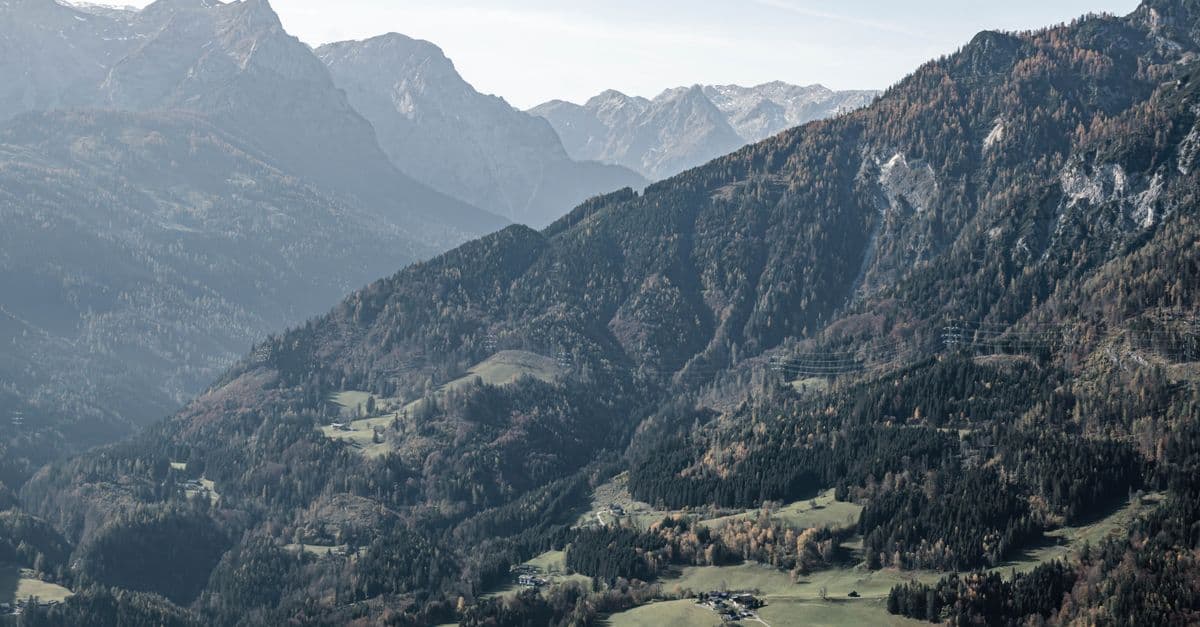
Photo: Karolina / Pexels
Mountains cover approximately 27% of Earth's land surface and are home to about 1.1 billion people. They are crucial to global water security — 50–80% of the world's freshwater originates in mountain watersheds. The world's highest peaks (Himalayas, Karakoram, Hindu Kush, Andes) define the physical geography that shapes entire civilisations.
Defining "mountainous" requires a threshold: the standard definition uses elevation >600m above sea level, though more rigorous measures also account for ruggedness (terrain roughness) and relative relief (elevation change within a region). By the simplest measure, Bhutan (98% above 600m) and Nepal (83% mountainous terrain) lead the world.
Key takeaways
- Bhutan (98% mountainous) and Nepal (83%) are the world's most mountainous countries by proportion of national territory.
- Nepal contains 8 of the world's 10 highest peaks including Mt. Everest (8,849m) — the highest point on Earth.
- The Andes are the world's longest mountain range at 7,000 km, running through 7 South American countries; the Himalayas contain the world's highest peaks.
- Mountain glaciers provide freshwater to ~2 billion people; accelerating glacial melt is the defining water security crisis of this century.
- The world's highest permanently inhabited settlement is La Rinconada, Peru at 5,100m — where 50,000 people live and work in extreme hypoxic conditions.
Where this data comes from
Mountain elevation and terrain data come from digital elevation models (DEMs) combining satellite radar and terrain surveys. The primary source is the Shuttle Radar Topography Mission (SRTM), a joint NASA-USGS project that mapped Earth's surface elevation at 30-meter resolution. The UNESCO World Atlas of Mountains compiles regional mountain statistics including percentage of territory classified as mountainous (using the 600m threshold and ruggedness metrics). National geographic surveys provide additional validation for specific peak heights. Peak elevations are regularly updated: Everest's official height, for example, was jointly resurveyed by Nepal and China in 2020, resulting in a 1-meter adjustment (from 8,848m to 8,849m). Temperature data from mountain weather stations validates the lapse rate (6.5°C per 1,000m) mentioned in climate sections.
Source: USGS Shuttle Radar Topography Mission (SRTM), UNESCO World Atlas of Mountains, National Geographic Surveys.
Countries with the most mountainous terrain
(% of national territory above 600m elevation or classified as mountainous)
| Rank | Country | Mountainous % | Highest peak | Notes |
|---|---|---|---|---|
| 1 | Bhutan | 98% | Gangkhar Puensum (7,570m) | Most unclimbed peaks |
| 2 | Nepal | 83% | Everest (8,849m) | 8 of 10 highest peaks |
| 3 | Tajikistan | 93% | Ismoil Somoni (7,495m) | Pamirs; highest Soviet peak |
| 4 | Kyrgyzstan | 90% | Jengish Chokusu (7,439m) | Tian Shan range |
| 5 | Switzerland | 71% | Dufourspitze (4,634m) | European Alps |
| 6 | Afghanistan | 75% | Noshaq (7,492m) | Hindu Kush; remote ranges |
| 7 | Andorra | 100% | Coma Pedrosa (2,942m) | Entirely Pyrenean |
| 8 | Lesotho | 100% | Thabana Ntlenyana (3,482m) | "Kingdom in the Sky" |
| 9 | Armenia | 80% | Aragats (4,090m) | Armenian Highlands |
| 10 | Georgia | 72% | Shkhara (5,193m) | Caucasus Mountains |
| 11 | Chile | 37% | Ojos del Salado (6,893m) | Andes; world's highest volcano |
| 12 | Peru | 34% | Huascarán (6,768m) | Andes + La Rinconada |
| 13 | Austria | 60% | Großglockner (3,798m) | Alps |
| 14 | Norway | 45% | Galdhøpiggen (2,469m) | Fjords + mountains |
| 15 | Iceland | 42% | Hvannadalshnúkur (2,110m) | Volcanic mountains |
| 20 | Pakistan | 38% | K2 (8,611m) | 2nd highest peak; Karakoram |
| 25 | China | 25% | Everest (shared 8,849m) | Tibetan Plateau; world's roof |
| 30 | India | 18% | Kangchenjunga (8,586m) | 3rd highest globally |
Source: USGS SRTM, UNESCO World Atlas of Mountains, National Geographic Surveys, 2023–2024.
Nepal: the world's mountain kingdom
Nepal's geography is defined by the Himalayas — the world's highest mountain range, formed ~50 million years ago when the Indian subcontinent collided with Eurasia. The results:
Eight of ten highest peaks: Nepal contains Everest (8,849m), Kangchenjunga (8,586m), Lhotse (8,516m), Makalu (8,481m), Cho Oyu (8,188m), Dhaulagiri (8,167m), Manaslu (8,163m), and Annapurna (8,091m). Only K2 (Pakistan) and Kangchenjunga (Nepal/India border) are outside Nepal.
Everest tourism economy: Mt. Everest climbing permits generate ~$5 million/year for the Nepalese government. The full expedition economy (guides, porters, accommodation, equipment) contributes significantly more. But mass tourism has created a waste crisis: tonnes of trash, oxygen cylinders, and human waste accumulate on the mountain.
Altitude living: The Sherpa people of the Khumbu region have developed specific genetic adaptations to high altitude over thousands of years — more efficient oxygen utilisation, larger lung capacity, and different cardiovascular response to hypoxia than lowland populations.
The Andes: South America's spine
The Andes run 7,000 km from Venezuela to Tierra del Fuego — the world's longest mountain range. They define the climate, biodiversity, and human history of the entire western side of South America:
Pre-Columbian civilisations: The Inca Empire (the world's largest by geographic extent at its peak) was built in the Andes — at altitudes of 2,000–5,000m. Andean civilisations domesticated the llama and alpaca, cultivated hundreds of potato varieties adapted to altitude, and built Machu Picchu at 2,430m.
Glaciers and freshwater: Andean glaciers supply dry-season water to cities including La Paz, Lima, and Quito. Tropical Andean glaciers are among the world's fastest retreating — Chacaltaya Glacier in Bolivia, once the world's highest ski resort, completely disappeared in 2009.
La Rinconada: At 5,100m in the Peruvian Andes, La Rinconada is the world's highest permanently inhabited city. ~50,000 people live there working in illegal gold mining, in extreme conditions: hypoxic air, no sewage system, mercury contamination from gold extraction. Life expectancy is short; mining workers are paid partly in the "cachorreo" system — keeping one day's production per month as wage.
Bhutan: the last mountain kingdom
Bhutan's near-total mountainousness has shaped its development in distinctive ways:
Gangkhar Puensum: At 7,570m, this is the world's highest unclimbed peak — Bhutan banned mountaineering on peaks above 6,000m in 2003 out of respect for local spiritual beliefs. The highest peaks are considered sacred and inaccessible.
Hydropower: Bhutan generates nearly 100% of its electricity from hydropower — a direct benefit of its mountainous terrain and abundant glacial rivers. It exports electricity to India, making hydropower its largest export.
Gross National Happiness: Bhutan's constitutional commitment to Gross National Happiness rather than GDP as the primary development metric is partially shaped by geography — the difficulties of Andean-scale industrialisation and the emphasis on environmental conservation in a small, ecologically sensitive country.
Mountains and the global freshwater crisis: a geological deadline
The world's mountain glaciers are the freshwater reserves that regulate dry-season water availability for approximately 2 billion people. Andean glaciers feed Lima's 9 million people and supply water to the agricultural valleys that grow South American food. Himalayan glaciers supply the dry-season flows of the Ganges, Brahmaputra, Indus, and Yellow rivers — systems critical to 1.5 billion people's drinking water and agriculture. Central Asian glaciers sustain the irrigation systems that keep Kazakhstan, Uzbekistan, and downstream regions viable. Yet these glaciers are retreating faster than at any other time in human history: Tropical Andes glaciers have lost more than 50% of their area since 1970; Himalayan and Karakoram glaciers are retreating by 0.5–1 meter per year. The timeline is immediate: modelling suggests that many mountain glacier systems could be 70% reduced or eliminated within 30–50 years if current warming trajectories continue. Unlike other environmental crises that can be managed through technology or policy substitution, glacier retreat cannot be reversed on human timescales — once ice is gone, seasonal water supplies disappear. This makes mountain conservation not a luxury but the single most critical freshwater infrastructure investment for billions of people whose survival depends on glacial meltwater continuing to flow downslope.
Frequently asked questions
Are mountains growing or shrinking?
Both simultaneously. Mountain ranges grow through tectonic uplift — the Himalayas are still rising at ~5mm per year as the Indian plate continues pushing into Asia. But erosion (rivers, glaciers, wind) wears them down constantly. In the short term, individual peaks can be measured to gain or lose height year to year. Everest's official height was revised from 8,848m to 8,849m in 2020 following a joint Chinese-Nepalese survey.
How do mountains affect climate?
Mountains profoundly affect regional climate through multiple mechanisms: orographic lift (air rises over mountains, cools, and releases precipitation on the windward side — creating rain shadows on the leeward side); temperature gradient (temperature drops ~6.5°C per 1,000m altitude); monsoon redirection (the Himalayas redirect South Asian monsoon precipitation, creating the world's most important agricultural watering system). The entire monsoon system of South and East Asia is shaped by the Tibetan Plateau's elevation.
What is altitude sickness?
Altitude sickness (Acute Mountain Sickness, AMS) affects most unacclimatised people above 2,500m: headache, nausea, fatigue, shortness of breath. At 5,000m+, High Altitude Pulmonary Edema (HAPE) and High Altitude Cerebral Edema (HACE) become life-threatening. The standard response is descent. Human habitation above ~5,000m is only sustainable for populations (Sherpas, Tibetans, Andean peoples) who have had thousands of years to genetically adapt.
The bottom line
Mountains are among Earth's most important physical features — generating freshwater for billions, creating biodiversity refuges, shaping climate systems across continents, and defining the cultural identities of the peoples who live within them. Bhutan's near-total mountainousness has made it a conservation success story and a hydropower nation; Nepal's Himalayas have created both the world's greatest climbing destination and extraordinary fragility in the face of glacier retreat. The mountain world is changing faster than any other terrestrial environment: glaciers that took 10,000 years to form are retreating in decades, and the water security of downstream billions depends on how quickly humanity acts on climate. Mountains, as always, are telling us something important — we should listen.
Related Reading
Follow new articles
Add SciHub101 to your feed reader to see new science and technology stories.
About the Author
SciHub101 is an independent science and technology publication founded and edited by Buğra Sözeri, a software engineer and app developer based in Türkiye. AI tools assist with drafting and research. Source documentation in the existing archive is uneven, and articles are being reviewed and corrected. The Editorial Team byline identifies editorial responsibility; it does not certify specialist or independent human review. Where we compare products, anything built by our own team is labelled as such — see the editorial guidelines and About page for how corrections and disclosures work.
Related Articles
Countries with the Most Desert Land (2025 Ranked)
Russia has the most desert and dryland by total area. But Australia has the highest percentage of desert territory at 35%. The Sahara covers 11 countries. Desertification is advancing at 12 million hectares per year — an area the size of England lost annually to spreading desert. Here's the full ranking and the crisis of expanding deserts.
Countries with the Most Coral Reefs (2025 Ranked)
Australia's Great Barrier Reef is the world's largest coral structure at 348,000 km². Indonesia has the most coral biodiversity. But 50% of the world's coral reefs have died since 1950 — bleaching events driven by ocean warming are accelerating. Here's the full coral reef ranking and the scale of the crisis.
The Longest Mountain Ranges in the World: The 65,000-Kilometre Range You'll Never See
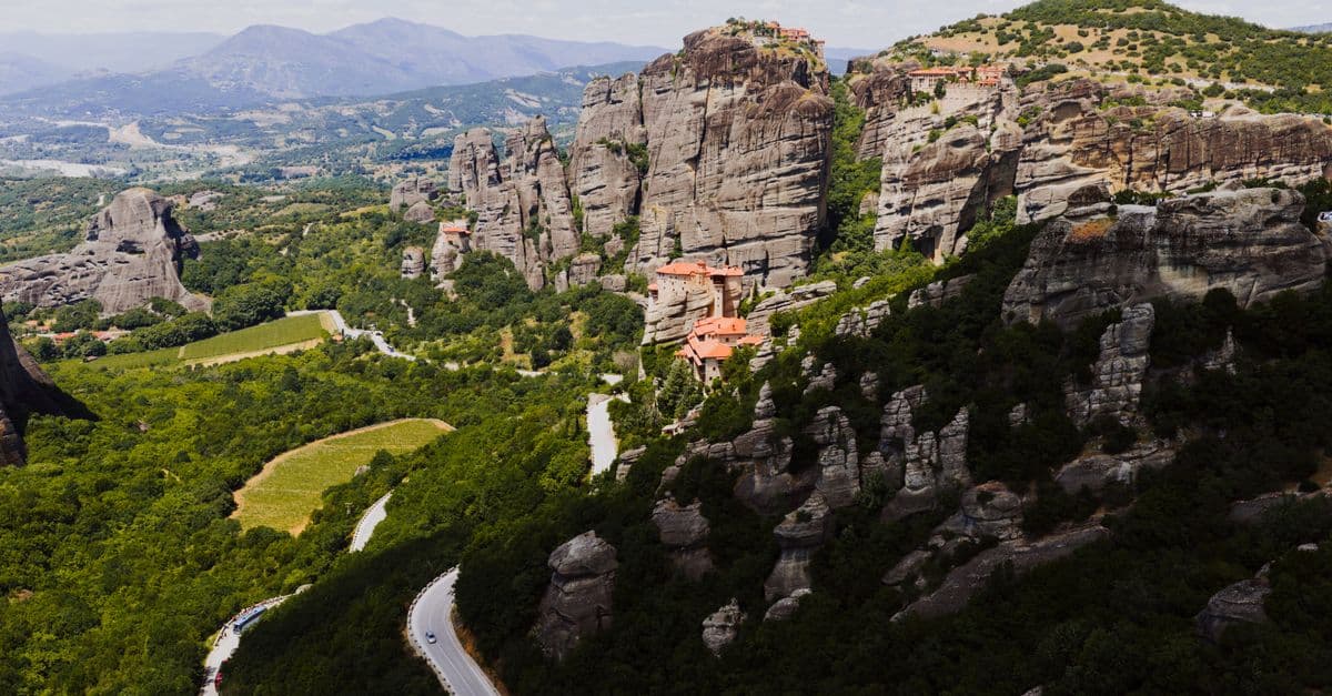
The Andes stretch 7,000 kilometres down the spine of South America — the longest mountain range on land, and a wall so high it creates deserts on one side and rainforests on the other. But it's not even close to the longest range on the planet. That title belongs to a mountain chain ten times longer, winding 65,000 kilometres around the globe entirely beneath the oceans, where most of Earth's volcanic activity quietly happens.

The Tallest Mountains on Earth: Everest, Mauna Kea, and Chimborazo Compared
Mount Everest is not the tallest mountain on Earth — and it is not the closest point on Earth's surface to outer space. Both claims belong to other peaks depending on how you define 'tallest.' At 8,848.86 meters (29,031.7 feet) above sea level, Everest wins the elevation contest. But Mauna Kea in Hawaii stands 10,210 meters (33,500 feet) from seafloor base to summit. And Chimborazo in Ecuador, a relatively modest 6,263 meters above sea level, sits 6,384.4 km from Earth's center — 2.1 km farther than Everest's summit.
Countries with the Most Freshwater Resources (Ranked)
Brazil has the world's largest total renewable freshwater resources — approximately 8,647 cubic kilometers per year, more than any other country and roughly 20 percent of the global total. Russia is second at 4,525 km³/year, Canada third at 2,860 km³/year. But total volume is only part of the story: Canada's per-capita freshwater availability is 36 times higher than China's. And water stress — not total availability — is the defining water challenge of the twenty-first century. This ranking covers the top 20 countries by total renewable freshwater resources, sourced from FAO AQUASTAT, with per-capita comparison and analysis of global water scarcity.

Countries That Recycle the Most (Municipal Waste Recycling Rates Ranked)
Austria recycles or composts 62.8% of its municipal waste — the highest rate in the European Union, the benchmark organization for standardized recycling statistics. Germany follows at approximately 67% when historical figures are used, with ten EU countries exceeding 50%. Outside Europe, South Korea leads Asia with an overall recycling and recovery rate that exceeds 80% through a deposit-refund system widely studied as a global model.