Water Evidence in Martian Rocks: Mars' Watery Past
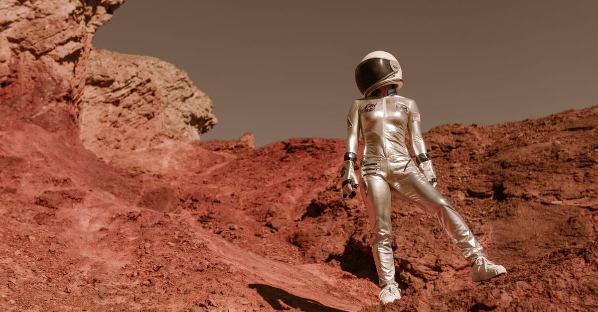
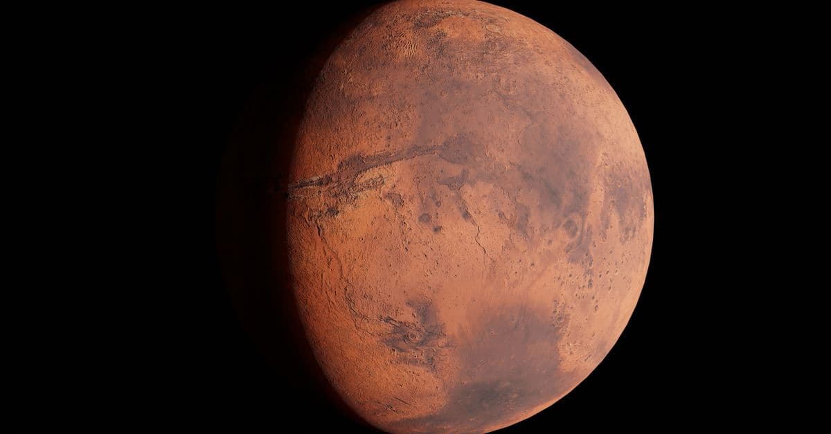
Photo: RDNE Stock project / Pexels
No one has watched a lasting stream or lake of liquid water on the surface of Mars, because the planet's thin air and cold make liquid water freeze or boil away. Yet the rocks say otherwise. Clay minerals, sulfate salts, fan-shaped deltas, rounded pebbles, and lake mudstones all point to water that pooled, flowed, and soaked into the ground more than 3 billion years ago. This article walks through each line of evidence, the instrument that found it, what it can and cannot prove, and why the story is more complicated than "Mars was once like Earth."
What counts as evidence of water on Mars?
Geologists do not need to catch water in the act. Water leaves behind a signature in the same way a flood leaves a line of silt on a house wall. The signature comes in three forms: minerals that can only form when water is present, landforms that only moving water carves, and chemical patterns in rocks that show water dissolved something and then dried out.
Each form of evidence has a weak point, which is why the case for ancient water rests on several independent lines at once. A valley shape seen from orbit could be carved by lava or ice. A mineral detected by a spectrometer (an instrument that splits reflected light into wavelengths and matches the pattern to known minerals) could have formed from a trace of water rather than a lake. A rounded pebble could in principle be shaped by wind. When all three kinds of clue line up at the same site, the explanation of liquid water becomes very hard to avoid.
| Type of evidence | Example | Instrument or mission | What it shows |
|---|---|---|---|
| Hydrated minerals | Clays (phyllosilicates), sulfates | OMEGA on Mars Express, CheMin on Curiosity | Water reacted with rock for long periods |
| Landforms | Deltas, channels, fans | Orbital cameras, rover cameras | Water moved sediment across the surface |
| Rock texture | Rounded pebbles, fine laminated mudstone | Rover cameras and close-up imagers | Flowing streams and calm lake bottoms |
| Salts | Sulfate salts, brine-deposited salts | Rover spectrometers | Water dissolved minerals and then evaporated |
| Isotopes | Deuterium to hydrogen ratio in the air | Ground-based telescopes | A large amount of water escaped to space |
What orbiters saw first: three eras written in minerals
The first global mineral map of Mars came from OMEGA, an infrared spectrometer on the European Space Agency's Mars Express orbiter. In a paper published in Science on April 22, 2006, Jean-Pierre Bibring and colleagues used it to propose that Mars passed through three mineral eras. ESA's summary of the paper names them with Greek-derived words.
The earliest era, the phyllocian, produced phyllosilicates (the family of sheet-like silicates that includes clays) in the oldest terrain. The second, the theiikian, produced sulfates in an acidic environment. The third, the siderikian, began about 3.5 billion years ago and is dominated by anhydrous ferric oxides, the rust-colored minerals that formed through slow surface weathering with little liquid water playing a global role. Think of it as three chapters: a clay chapter, a salt chapter, and a rust chapter.
That framework has been refined since, and some researchers argue the eras overlapped regionally rather than following a clean global sequence. But it gave scientists a map to aim at. Landing sites such as Gale Crater and Jezero Crater were chosen partly because orbital data showed clay and other hydrated minerals nearby.
What did Opportunity find in 2004?
NASA's Opportunity rover landed on Meridiani Planum in early 2004 and, about five weeks later, delivered one of the first rover-based proofs of water. At a March 2, 2004 briefing, team leader Steve Squyres said, "Liquid water once flowed through these rocks." NASA's record of that briefing lists the evidence.
The rover's alpha particle X-ray spectrometer found very high sulfur in the outcrop, probably in magnesium or iron sulfate salts. Its Mössbauer spectrometer (which identifies iron-bearing minerals) found jarosite, a hydrated iron sulfate that can form in acidic water. Cavities in the outcrop called El Capitan were read as molds left by salt crystals that had once grown in brine and later dissolved.
A later overview by Squyres and colleagues concluded that groundwater had interacted with the sulfate-rich sandstones and produced hematite-rich concretions nicknamed blueberries. The same overview found that conditions were mostly arid, acidic, and oxidizing. This is an important correction to the popular picture: Meridiani records water, but salty and sour water, not a freshwater lake. That contrast with Gale Crater is exactly why several sites matter.
How did Curiosity find a habitable lake at Gale Crater?
Curiosity landed in Gale Crater on August 6, 2012, according to NASA's mission page. Gale is an impact crater with a layered mountain, Mount Sharp, rising from its floor. The rover's instruments have, in NASA's words, found "chemical and mineral evidence of past habitable environments on Mars."
The first big result came from Yellowknife Bay, a shallow depression near the landing site. A 2014 Science paper by the MSL science team, led by John Grotzinger, described fine-grained mudstones deposited in a lake fed by streams. The water, based on the rock chemistry, had a neutral pH and low salinity, and the iron and sulfur in the rocks existed in several oxidation states. That last detail matters because mixed oxidation states can serve as a chemical energy source for microbes on Earth. The paper estimated the environment lasted a minimum of hundreds to tens of thousands of years.
The result has limits. The rocks show that the ingredients and energy for life were present in drinkable-quality water, at least in principle. They do not show that anything lived there. Grotzinger's team framed the mission as an assessment of habitability, not a search for living things.
Why did the lake deposits give way to sulfates?
Climbing Mount Sharp, Curiosity reads time like pages in a book, with older layers at the bottom. NASA's team reported in October 2015 that streams and lakes existed in Gale roughly 3.8 to 3.3 billion years ago and that filling the lowest layers of Mount Sharp took less than 500 million years, based on layered mudstone and the geometry of the deposits.
Higher up, the picture shifts. In a 2022 JPL report, the rover had spent about a year crossing a zone where it detected less clay and more sulfate as it climbed. Streams there had shrunk to trickles, and sand dunes formed over the old lake sediments. Project scientist Ashwin Vasavada said, "We no longer see the lake deposits that we saw for years lower on Mount Sharp."
A 2019 JPL report on work led by William Rapin described mineral salts at the Sutton Island section, mixed with sediment and suggesting crystallization in wet settings, probably salty shallow ponds. Vasavada described the overall trend as "from a wet landscape to a drier one" but noted that the shift was not a straight line, with wetter and drier phases alternating.
What did Perseverance find in Jezero Crater?
Perseverance landed in Jezero Crater on February 18, 2021. NASA describes the crater as 45 kilometers (28 miles) wide, and says river channels spilled over its rim to make a lake more than 3.5 billion years ago. Orbital images had long shown a fan-shaped deposit on the crater's western side, which looked like a river delta, a landform built where a river slows on entering standing water and drops its load of sand and mud.
Close-up images supported that reading. In a Science paper from 2021, Nicolas Mangold and colleagues described inclined layers in the outcrops that match deltas advancing into a lake, topped by boulder conglomerates that point to episodic, high-energy floods. Summaries from the French research agency CNRS, which took part in the work, put the lake at several tens of meters deep, covering a crater floor roughly 35 kilometers across, about 3.6 billion years ago.
What about the crater floor?
The surprise came from the floor beneath the delta. Kenneth Farley and colleagues reported in Science in 2022, and a USGS record of the paper summarizes it, that the floor is made of igneous rock, not sedimentary layers as the team had hoped. The lowest unit, Séítah, is a coarse, olivine-rich rock that formed at the base of a magma body. The unit above it, Máaz, is likely lava flows or a chemical counterpart of Séítah.
Water still left its mark. Iron-magnesium carbonates along grain boundaries suggest reactions with carbon-dioxide-rich water under conditions where water was scarce. Sulfates and perchlorates fill voids and were probably deposited when near-surface brine evaporated. Think of it like a sponge cake left in a damp room, where the interior shows traces of moisture even though the cake was never submerged.
NASA's mission page states that Perseverance has collected more than two dozen rock samples. The sample called Sapphire Canyon, drilled from the rock nicknamed Cheyava Falls, contains features NASA calls potential biosignatures. Nature published validated results in September 2025, and NASA says more data or study is needed before drawing conclusions. Treat that as an open question, not a finding.
How much water did Mars have?
This is where the evidence gets less certain. A 2015 Science paper led by Geronimo Villanueva used the Very Large Telescope, the Keck Observatory, and NASA's Infrared Telescope Facility to measure the ratio of heavy water (HDO, in which hydrogen is replaced by its heavier isotope deuterium) to normal water in the Martian air. Because lighter hydrogen escapes to space more easily, an enriched heavy-water ratio signals large losses.
According to NASA's release of March 5, 2015, the team concluded Mars once held at least 20 million cubic kilometers of water. Spread evenly, that would form a layer about 137 meters deep, and in the likely northern plains ocean it would have covered 19 percent of the surface and exceeded 1.6 kilometers in depth in places. About 87 percent was lost to space, according to NASA's caption. The team's estimate was based on one polar region and has been debated since.
Other work has produced different numbers. A 2021 study in Science by Eva Scheller and colleagues, using data from the MAVEN and Mars Express orbiters, argued that atmospheric escape alone cannot account for the missing water. It suggested that between 30 and 99 percent of Mars' original water may instead have reacted with rock and become locked in minerals in the crust. The two answers are not directly comparable, but together they show that "gone to space" and "buried in rock" are both live hypotheses.
| Estimate | Source | Reported amount | Main assumption |
|---|---|---|---|
| Early ocean volume | Villanueva et al., Science, 2015 | At least 20 million km³ (137 m global layer) | Deuterium enrichment in polar water vapor reflects whole-planet loss |
| Crustal storage | Scheller et al., Science, 2021 (MAVEN and Mars Express data) | 30 to 99 percent of initial water locked in minerals | Water reacted with rock and was buried; range depends on how escape rates varied over time |
Could liquid water still be underground?
In 2024, Vashan Wright, Matthias Morzfeld, and Michael Manga published a paper in the Proceedings of the National Academy of Sciences using seismic and gravity data from NASA's InSight lander. They found that a mid-crust of fractured igneous rock saturated with liquid water, at a depth of roughly 11.5 to 20 kilometers, best explains the seismic velocities. They argued that, if the crust elsewhere resembles the InSight site, the volume could exceed what is proposed to have filled the ancient oceans.
This claim is contested. A 2025 comment by Bruce Jakosky argued that the data do not require a water-saturated crust. Even if the water exists, it lies far deeper than any drill could reach, so it is a puzzle about the planet's inventory rather than a resource for explorers.
How do geologists read flowing water from standing water?
Rock grain size works like a speedometer for ancient water. Fast water can carry and roll large stones, so it leaves conglomerate, a rock made of rounded pebbles and cobbles cemented together. Slow or still water can only carry silt and clay, which settle gently to produce mudstone with thin, parallel layers. When a single outcrop passes from coarse conglomerate to fine mudstone, the water slowed down, or the source of the stones shut off.
The rounding of pebbles is the second clue. A stone dropped by a landslide stays angular, with sharp corners. A stone tumbled along a streambed for kilometers loses those corners, which is why rounded pebbles on Mars have been read as stream deposits. The Jezero boulders that exceed a meter across say something different: only very strong flows can move stones that large, which fits the flood interpretation in the Mangold paper.
Layer geometry is the third clue. In a delta, sediment piles up in inclined sheets, like a stack of playing cards leaning against a wall, because each new batch of sand slides down the front of the growing fan into deeper water. Seeing those inclined sheets in rover images is one of the strongest signs that a river once met standing water, since wind-blown dunes make inclined layers too but with different internal patterns.
A timeline of the main discoveries
| Year | Mission or study | What it added |
|---|---|---|
| 2004 | Opportunity at Meridiani Planum | Sulfates, jarosite, and salt-crystal molds showing salty, acidic water |
| 2006 | OMEGA on Mars Express (Bibring et al.) | Global map linking clays, sulfates, and iron oxides to three eras |
| 2012 | Curiosity lands in Gale Crater | Start of drilling and mineral analysis inside a layered mountain |
| 2014 | Grotzinger et al., Science | Yellowknife Bay lake with neutral pH and low salinity |
| 2015 | Villanueva et al., Science | Heavy-water ratio implies a large lost ocean |
| 2015 | Curiosity team report | Lakes and streams in Gale roughly 3.8 to 3.3 billion years ago |
| 2019 | Rapin et al., Nature Geoscience | Salts at Sutton Island point to salty shallow ponds |
| 2021 | Perseverance lands in Jezero | Delta and flood deposits confirmed by Mangold et al. |
| 2022 | Farley et al., Science | Crater floor is altered igneous rock with carbonates and brine salts |
| 2024 | Wright, Morzfeld, and Manga, PNAS | Seismic data interpreted as a deep water-saturated crust, since challenged |
Why do the sites seem to disagree?
A common reaction to this table is confusion: one site says fresh and habitable, another says acidic and salty, and a third says almost dry. The disagreement is mostly about place and time. Mars at 3.7 billion years ago was not one uniform environment, any more than Earth today is both the Amazon and the Atacama. Gale held a deep lake while Meridiani sat on a broad plain where groundwater rose and evaporated.
Rover location also biases the story. Rovers can only examine rocks that stayed at the surface and were exposed by erosion, so the record is patchy by nature. Curiosity's climb of Mount Sharp is the best attempt yet to read a continuous sequence, which is why the clay-to-sulfate transition has drawn so much attention.
What do these rocks say about acidity and habitability?
The old shorthand that "clay means neutral water and sulfate means acid water" is a useful rule of thumb, not a law. Clays of different kinds form across a wide pH range, and the neutral-pH conclusion at Yellowknife Bay came from the whole chemical package in the mudstone rather than the presence of clay alone. Sulfates can form from acidic water, but also from simple evaporation of salty water, and Meridiani and Gale have given different answers.
What the sequence does support is a change over time in the style of water. Early water in Gale seems to have been fresh and long-lived. Later water was shallower, saltier, and intermittent. By the time the siderikian era began, as defined by the OMEGA team, liquid water had little global role.
Habitability for Earth-like microbes needs more than water. It needs a source of energy, the right set of elements (carbon, hydrogen, nitrogen, oxygen, phosphorus, and sulfur), and conditions stable for long enough. Yellowknife Bay offered the first three in a form that Curiosity could measure. Longevity is the part that remains hardest to quantify.
Common misconceptions about Martian water
Misconception: Mars "proves" life existed. Water makes life possible, not inevitable. No rover has found confirmed evidence of ancient life, and the potential biosignatures at Cheyava Falls need further study.
Misconception: Mars was once a warm, Earth-like planet. The evidence shows liquid water, but not necessarily warm weather. Some of the deltas, channels, and lake beds may have formed during episodes of melting under a cold climate. Scientists still debate how a planet with a weaker early Sun and a thin atmosphere stayed wet at all.
Misconception: Jezero Lake was as large as an inland sea. Some older accounts overstated the lake's size. NASA gives the crater's diameter as 45 kilometers, and the lake could not have been wider than the crater floor.
Misconception: the water is simply gone. Some is frozen in polar caps and buried ice, some is chemically bound in minerals, and some escaped to space. How the shares divide is an active research question.
Where to go next in the Mars story
Water evidence feeds directly into several other puzzles. To see how the thin atmosphere constrains where water can exist, read why Mars lost most of its atmosphere and the atmosphere composition studies. For the planet as a whole, Mars explained: geology, water, atmosphere, and colonization is the broader survey, and Mars rovers explained from Sojourner to Perseverance tells the story of the machines that gathered the evidence above.
Dating these rocks relies on crater counts and radioactive clocks, which how radiometric dating works explains. The question of whether the ancient chemistry ever became biology belongs to astrobiology, and the methane readings that complicate the picture are covered in the Curiosity methane mystery. For what the water means for future crews, see can humans live on Mars.
Frequently Asked Questions
Q: Could Mars' ancient water have supported life? A: The chemistry at Yellowknife Bay in Gale Crater was consistent with habitability: a lake with near-neutral, low-salinity water and iron and sulfur in several oxidation states that microbes could use for energy. That shows the conditions were suitable, not that anything lived there. Proving life would require biosignatures confirmed by multiple methods.
Q: How did scientists date the wet period on Mars? A: Mostly by crater counting from orbit and by stratigraphy, the order of rock layers. NASA's team reported in 2015 that streams and lakes existed in Gale Crater roughly 3.8 to 3.3 billion years ago, and the Jezero lake has been dated to about 3.6 billion years ago. Samples returned to Earth could be dated radiometrically, which is far more precise.
Q: How much water did Mars have? A: Estimates differ. A 2015 analysis of heavy-to-normal water ratios found at least 20 million cubic kilometers, equal to a global layer about 137 meters deep. A 2021 analysis using MAVEN data suggested 30 to 99 percent of the water may be locked in crustal minerals rather than lost to space. Both rest on assumptions.
Q: Did Mars have an ocean? A: A northern ocean is plausible, and the 2015 study estimated it would have covered 19 percent of the surface. However, shorelines and ocean sediments are harder to confirm than lakes and deltas, and the idea remains debated. Rover-confirmed lakes and deltas at Gale and Jezero are much better established than a planet-wide ocean.
Q: Is there liquid water on Mars now? A: Not on the surface in any stable form. A 2024 PNAS analysis of InSight seismic data argued that liquid water may sit in fractured rock 11.5 to 20 kilometers underground, but a 2025 comment argued the data do not require it. Either way, it is far beyond the reach of any current drill.
Q: What will Mars Sample Return tell us about the water? A: Samples such as those Perseverance has stored could be analyzed in Earth laboratories for age, isotopes, and organic chemistry with instruments too large to fly. NASA says the samples await potential pickup by a future mission, and the timing of any return remains uncertain.
The takeaway
Mars was wet, but the details change with every site and every layer. Meridiani Planum shows salty, acidic groundwater. Gale Crater shows a lake that was fresh and potentially habitable, followed by a long slide toward dry conditions recorded in rising sulfate content. Jezero Crater shows a delta and a lake fed by rivers more than 3.5 billion years ago, built over a floor that groundwater had altered only lightly.
The most useful way to think about the evidence is as a set of snapshots rather than one continuous film. Each rover reads a different moment in a drying planet's history, and none yet shows how long the wet intervals lasted. That gap, rather than whether water existed at all, is now the central question.
Read next:
- Perseverance Rover: Astrobiology Search on Mars
- Martian Soil Analysis: Mars Geology from Rover Studies
- Mars Radiation Measurement: Health Risks for Settlement
Sources:
- NASA, Curiosity mission overview (landing date, drilled samples, Cumberland organics)
- NASA, Perseverance mission overview (landing date, Jezero size, samples, Sapphire Canyon)
- NASA, Mars once had more water than Earth's Arctic Ocean, March 5, 2015
- NASA JPL, Curiosity captures views of a changing Mars landscape, 2022
- NASA JPL, Curiosity finds an ancient oasis on Mars, October 7, 2019
- NASA JPL, Curiosity team confirms ancient lakes on Mars, October 8, 2015
- NASA NSSDC, Opportunity evidence of water at Meridiani Planum, March 2, 2004
- ESA, Global mineralogical and aqueous Mars history derived from OMEGA/Mars Express data (Bibring et al., Science, 2006)
- USGS, Aqueously altered igneous rocks sampled on the floor of Jezero crater, Mars (Farley et al., Science, 2022)
- Grotzinger et al., A habitable fluvio-lacustrine environment at Yellowknife Bay, Gale crater, Mars, Science, 2014
- Mangold et al., Perseverance rover reveals an ancient delta-lake system and flood deposits at Jezero crater, Mars, Science, 2021
- Wright, Morzfeld, and Manga, Liquid water in the Martian mid-crust, PNAS, 2024
Follow new articles
Add SciHub101 to your feed reader to see new science and technology stories.
About the Author
SciHub101 is an independent science and technology publication founded and edited by Buğra Sözeri, a software engineer and app developer based in Türkiye. AI tools assist with drafting and research. Source documentation in the existing archive is uneven, and articles are being reviewed and corrected. The Editorial Team byline identifies editorial responsibility; it does not certify specialist or independent human review. Where we compare products, anything built by our own team is labelled as such — see the editorial guidelines and About page for how corrections and disclosures work.
Related Articles
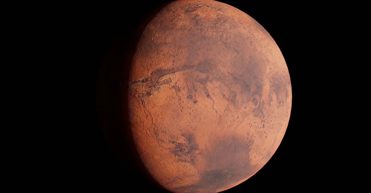
Martian Soil Analysis: Mars Geology from Rover Studies
Rover soil analysis shows Mars' surface is crushed basalt, oxidized iron, water-bearing minerals, and perchlorate salt. Here is what each finding means.
Temperature and Pressure Monitoring on Mars: Seasonal Changes and Habitability
Mars air is roughly 160 times thinner than Earth's, and its temperature swings by more than 50 degrees in a day. Here is what rovers measure and why it matters.
Curiosity Rover: Methane Mystery on Mars
NASA's Curiosity rover detected methane spikes in Mars' atmosphere—evidence of possible microbial life or geological processes that challenge understanding of the Red Planet.
Atmospheric Composition Studies on Mars: Understanding Thin Air
Mars' atmosphere is about 95% carbon dioxide at roughly 0.6% of Earth's surface pressure. Rover and orbiter measurements show what is in it, how it cycles with the seasons, and what its trace gases and isotopes say about the air Mars lost.
Dust Storm Impact Research: Mars Global Storms and Settlement Challenges
Mars dust storms can wrap the whole planet, as the 2018 storm did. Here is how they start, what they did to Opportunity and Curiosity, and what they mean for future bases.
Radiation Measurement on Mars: Health Risks for Settlement
Curiosity's radiation detector has logged the Martian surface dose since August 2012. Here is what it measured, what that means for human health, and how much shielding settlers would need.